
Drone Photography
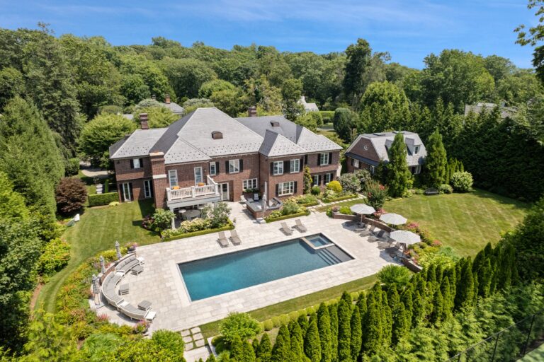
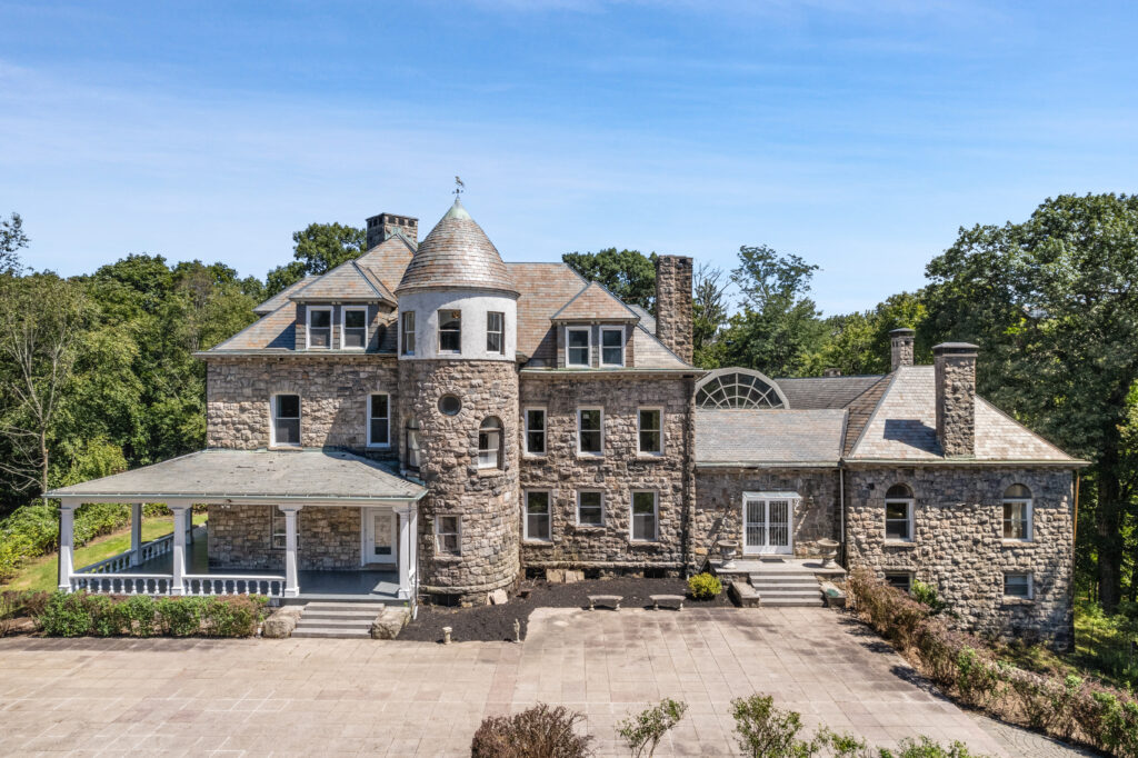
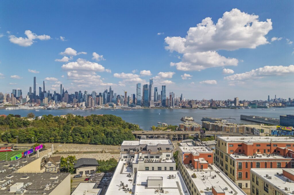
Not sure if drone photography will enhance your listing? Many property types benefit from an elevated perspective.
– Sweeping views
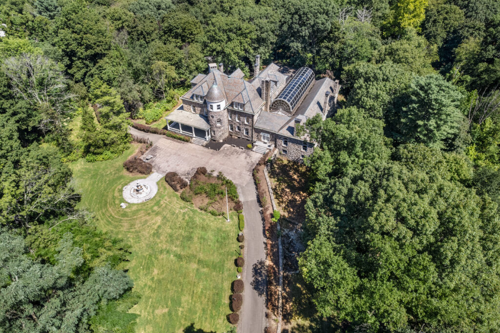
– Acreage with outbuildings
– Proximity to surrounding locations
– Multiple roof elevations and features not easily visible from the ground
– Sloped land that makes it challenging to showcase the front elevation
Drone Photography
Not sure if drone photography will enhance your listing? Many property types benefit from an elevated perspective.
– Sweeping views
– Acreage with outbuildings
– Proximity to surrounding locations
– Multiple roof elevations and features not easily visible from the ground
– Sloped land that makes it challenging to showcase the front elevation
Some properties simply cannot be told from the ground. At Home Media produces real estate drone photography and aerial videography for agents, brokers, and developers across Westchester County and Greenwich, Connecticut, flown and edited by a single FAA-certified operator to a consistent standard for every listing.
Why It Matters
Buyers make split-second decisions about whether a listing is worth their time, and static photos taken at eye level rarely tell the full story. Drone photography for real estate changes that, showing buyers the lot, neighborhood, and surrounding landscape in a context that ground-level shots simply cannot capture.
According to the National Association of Realtors, properties marketed with professional photography and high-quality visual media receive significantly more online attention than those without.
Aerial imagery amplifies that effect, particularly for larger lots, waterfront properties, and commercial listings where scale and location are key selling points.
Our Approach
I’m Anthony Tenecela, the founder and only operator behind At Home Media. When you book a real estate drone photographer through this site, I am the person flying the aircraft, planning the shots, and editing the stills and video. There is no second pilot, no subcontracted crew, and certainly no rotating roster of freelancers.
That consistency is important across listings. Agents who book me regularly know what the aerials will look like before the files arrive, because the same eye is behind every flight.
Every flight at At Home Media is conducted under FAA Part 107. That covers commercial drone photography for real estate listings, the airspace work required around parts of Westchester and the New York corridor, and the insurance that the brokerage will ask about before the first booking. The certification is mandatory in this market and cannot be delegated.
Aerial drone real estate photography on one visit, with one operator, and one finished set of deliverables that match each other in style, color, and pacing. The stills and the video read as part of the same gallery rather than two different shoots.
Commercial real estate drone photography is offered alongside the residential work, covering office space, retail, mixed-use, and development sites across the Westchester and Greenwich market.
Westchester lies within a complex stretch of airspace. Knowing where the controlled zones start, where the no-fly buffers around airports and helipads sit, and what the LAANC approval timeline looks like is part of the job. The same local knowledge carries into the real estate photography and floor plan work shot on the same visit.
What’s Included
The property is reviewed against airspace charts before the booking is confirmed. Where LAANC authorization or a waiver is required, it is arranged ahead of the flight, not on the day.
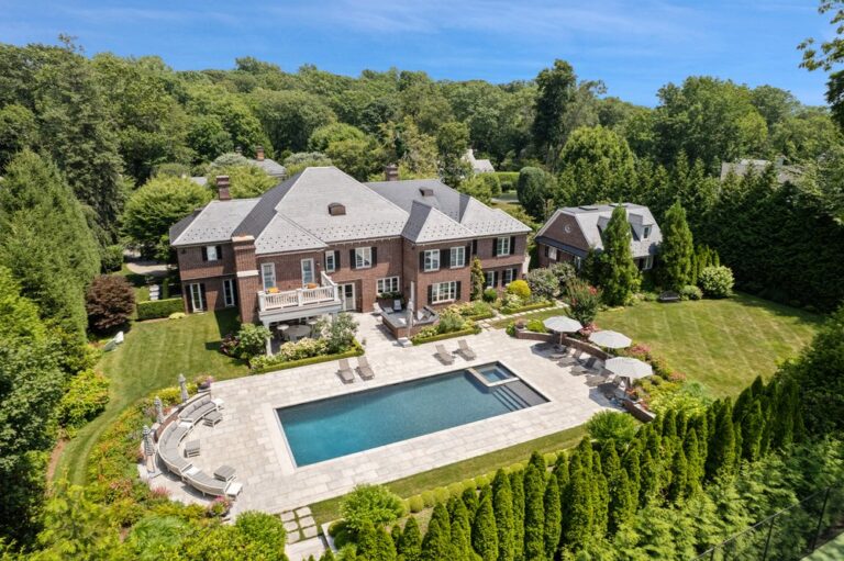
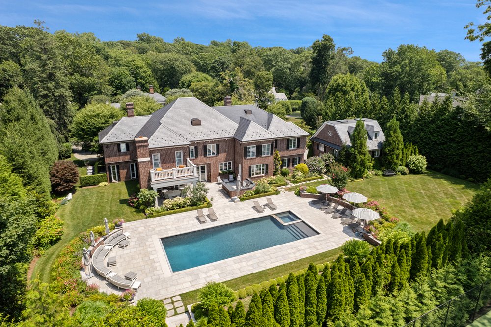
A full set of high-resolution aerial photographs covering the property from the angles that actually serve the listing. Front elevation, rear elevation, lot context, and proximity to surrounding features.
Drone videography for real estate captured at 4K, gimbal-stabilized, and edited to cut alongside ground footage if cinematic video is part of the same booking.
Stills are finished alongside the ground gallery, so the look stays consistent across the whole listing. Aerial video is color-matched to any ground video shot on the same visit.
Files arrive in the formats your portals expect. Nothing to convert or resize on your end before the listing goes live.
Pricing
Pricing depends on the property size, the type of edit, and whether real estate videography is booked on its own or bundled with photography, drone, or 3D services. Twilight video, commercial real estate videography, and larger luxury properties are quoted on a per-listing basis.
Every quote is direct and tied to what the listing actually needs. Bundling drone work with real estate photography and floor plans into a single visit usually delivers greater value than booking each service separately.
The Process
Get in touch to schedule. Drone work pairs naturally with photography, video, and 3D services, and all of it can be coordinated in a single visit.
The property is checked against current airspace charts, any LAANC authorization is arranged, and the shot list is built around the listing.
I arrive ahead of the scheduled slot, brief the seller if they are on-site, and fly the property to a plan. Most residential drone sessions take thirty to sixty minutes in the air, depending on the size of the lot and the weather window.
Stills are color-graded to match the ground gallery, video is cut and finished, and everything lands in your inbox ready for the MLS and the social channels you market on.
Showcase
FAQ
Drones fly safely in light wind and clear conditions. Rain, strong gusts, and low clouds are stop conditions. If the weather does not hold, the flight is rebooked at no charge. Either way, Anthony watches the forecast for forty-eight hours before the slot and will reach out if a reschedule is looking likely.
Acreage, waterfronts, equestrian estates, hilltop homes, and any listing where the lot, the roofline, or the surroundings are part of the story. Smaller suburban homes on flat lots usually do not need a drone session unless the front elevation is hard to capture from the ground.
Yes. Every flight is conducted under FAA Part 107, the certification required to fly real estate drone photography commercially in the United States. When the property is located within controlled airspace, LAANC authorization is obtained before the booking is confirmed.
Yes. Drone videography for real estate is captured during the same visit as the aerial photography and delivered as part of the same package. The stills and the video read as a matched set rather than two separate shoots.
Aerial drone photography and videography give buyers a view of your property that no other format can match.
If you’re marketing a listing in Westchester County or the surrounding New York and Connecticut area, At Home Media is ready to help you present it at its best, from above and from the ground up.

Address:
445 Hamilton Ave Suite 1102 Room 3, White Plains, NY 10601
Business Hours:
Monday 9 AM – 5 PM
Tuesday 9 AM – 5 PM
Wednesday 9 AM – 5 PM
Thursday 9 AM – 5 PM
Friday 9 AM – 5 PM
Saturday 9 AM – 12 PM
Sunday Closed